Table of Contents
Predictions of Covid deaths using scientific modelling turned out to be wildly inaccurate but served the very useful purpose of ensuring public compliance. The same process also works for the climate change zealots, whose dire predictions are extremely well funded.
Twenty-five Italians and 12 New Zealanders spent two months in Antarctica this year gathering information “along the largest ice shelf in the world, making ocean measurements, deploying robots, deploying instruments” to “to improve computer models so that our projections get better, so we have a sense of what things will be like in a decade or two decades’ time”.
Their mission was to collect scientific data that we can expect to see in future reporting.
A scientific Antarctic expedition costs $100,000 a day, an expensive undertaking, but “one we can’t afford to skip if we want to know what’s happening with the world’s oceans”.
RNZ
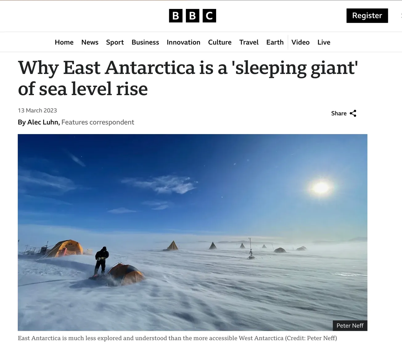
Be afraid, be very afraid, because “we are losing sea ice in Antarctica at an alarming rate”, warned the scientist who junketed off to study the West Antarctica sea-ice melt with a particularly irritating reporter in tow to trumpet the bad news.
Antarctica comprises two distinct ice sheets: East Antarctica (EAIS), predominantly land ice, and West Antarctica (WAIS), predominantly sea ice, the area studied in the above expedition.
West Antarctica is a much less significant threat to rising sea levels than East Antarctica, which theoretically could cause 10 times the rise in sea levels. Unfortunately for climate change zealots, overall the ice in East Antarctica has been stable for the last 85 years.
“The WAIS is largely marine-based, grounded to almost 2,000m below sea level. It’s about 1.9 million km2 in area. The EAIS is mostly land-based. It’s about 10.3 million km2. Together, they hold about 70 per cent of the world’s fresh water. If the WAIS melted, oceans would rise by 5m. If the EAIS melted, oceans would rise by 52 m. What’s more likely is mere centimetres – but still enough to affect hundreds of millions of people with coastal inundation.”
GNS
A 2023 paper in Nature Communications on EAIS warned “increased warm water intrusions could cause mass loss in East Antarctica during the next 200 years”. Pigs could fly in the next 200 years but, scientifically, what are the chances?
The report claims, “The East Antarctic Ice Sheet (EAIS) is the single largest potential contributor to future global mean sea level rise”, and a statement within the report contradicts the fear-mongering headline: most predictions of East Antarctica ice melt are “close to zero mass ice loss of the East Antarctic Ice Sheet” with some estimates predicting large ice gain and some predicting large ice loss.
The University of Copenhagen stumbled upon the opportunity to produce a map of EAIS as it would have been 85 years ago, providing a baseline to measure changes in the ice between then and now.
Using hundreds of old aerial photographs dating back to 1937, combined with modern computer technology, the researchers have tracked the evolution of glaciers in East Antarctica. The area covers approximately 2,000 kilometers of coastline and contains as much ice as the entire Greenland Ice Sheet.
By comparing the historical aerial photos with modern satellite data, the researchers have been able to determine whether the glaciers have retreated or advanced and whether they have thickened or thinned.
The study reveals that the ice has not only remained stable but grown slightly over the last 85 years, partly due to increasing snowfall.
“We constantly hear about climate change and new melt records, so it’s refreshing to observe an area of glaciers that has remained stable for almost a century,” says Ph.D. student Mads Dømgaard, the study’s first author.
Phys.Org
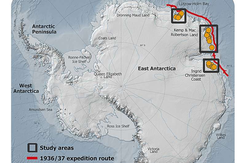
Most of the images used in the study were captured during a 1937 expedition organized and paid for by Norwegian whaler Lars Christensen. The mission aimed to produce the first maps of this part of East Antarctica, but the maps were never published due to the German invasion of Norway. Since then, the images have been stored at the Norwegian Polar Institute in Tromsø and forgotten.
When the researchers from the University of Copenhagen read about the expedition, they realized that valuable images were likely hidden in an archive in Norway. They traveled to Tromsø and reviewed all 2,200 images taken during the expedition. They supplemented the Norwegian aerial images with images of the same glaciers from Australian surveys conducted between 1950 and 1974.
The scientific paper’s title “A local bright spot among melting glaciers: 2,000 km of Antarctic ice-covered coastline has been stable for 85 years” is accompanied by the dire prediction that “higher temperatures, extreme weather, melting glaciers, and rising sea levels – all indicators that the climate and the world’s ice masses are in a critical state” and yet EAIS is the “single largest potential contributor to future global mean sea level rise”.
Phys.Org
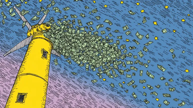
With exceptional funding, expect the fearmongering to roll on. Climate change is expected to cost $215 trillion if the world is to reach net zero by 2050: an insane amount of money for scientists and media to burn through to keep a looming climate calamity front and centre.
Has history taught climate science zealots anything?
Akin to religious zealots, they plot doomsday projections on an almost faith-like basis that requires discarding history that doesn’t suit. Exactly what we experienced during the Covid pandemic from the so-called health experts. The process of muddling fact and fiction is absolutely essential if climate change zealots are to maintain their credibility.


