
Table of Contents
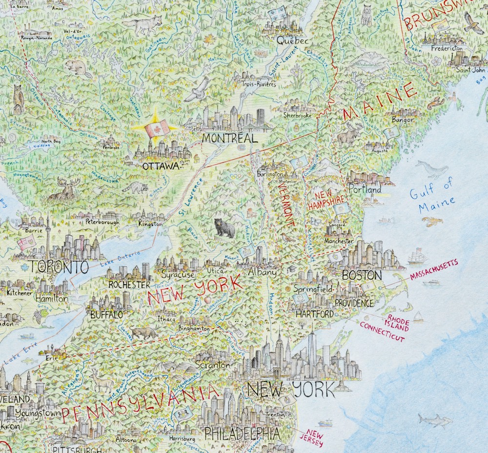
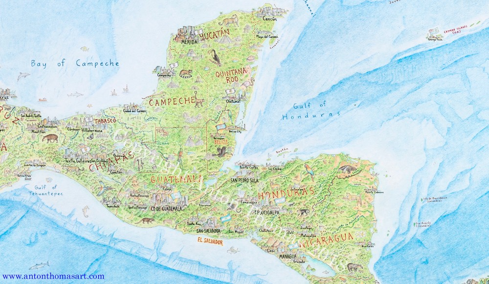
Anton Thomas has been working for the last five years on a huge hand-drawn map of North America.
North America: Portrait of a Continent is drawn completely by hand with colour pencil and pen. It is a 5 x 4 feet (150 x 120 cm) perspective projection of the entire region, spanning from Alaska to Panama; Greenland to the Caribbean. There are tens of thousands of features, including 600 individual cities and towns.
Looks fantastic. He finished it in February and is getting ready to open pre-orders for prints sometime this month.
https://kottke.org/19/12/huge-hand-drawn-map-of-north-america-5-years-in-the-making


