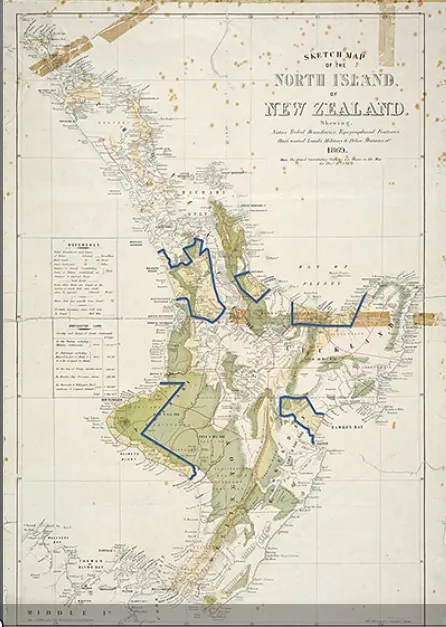
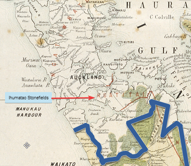
This historical map shows tribal boundaries and the areas that were confiscated from Maori during the 1860s. The blue boundaries have been added in modern times to identify the areas in which the confiscations took place. It notes that Waikato, the domain of the Kangitanga (Maori King movement), had 1,217,437 acres (492,679 hectares) confiscated.
TeAra


![[The Good Oil] Stuff Up of the Day](/content/images/size/w1304/format/webp/2024/09/Stuff-up-image-1.webp)