Table of Contents
**If readers want this series to continue please send your original photos to window@thebfd.co.nz
What can you tell us about this photo?

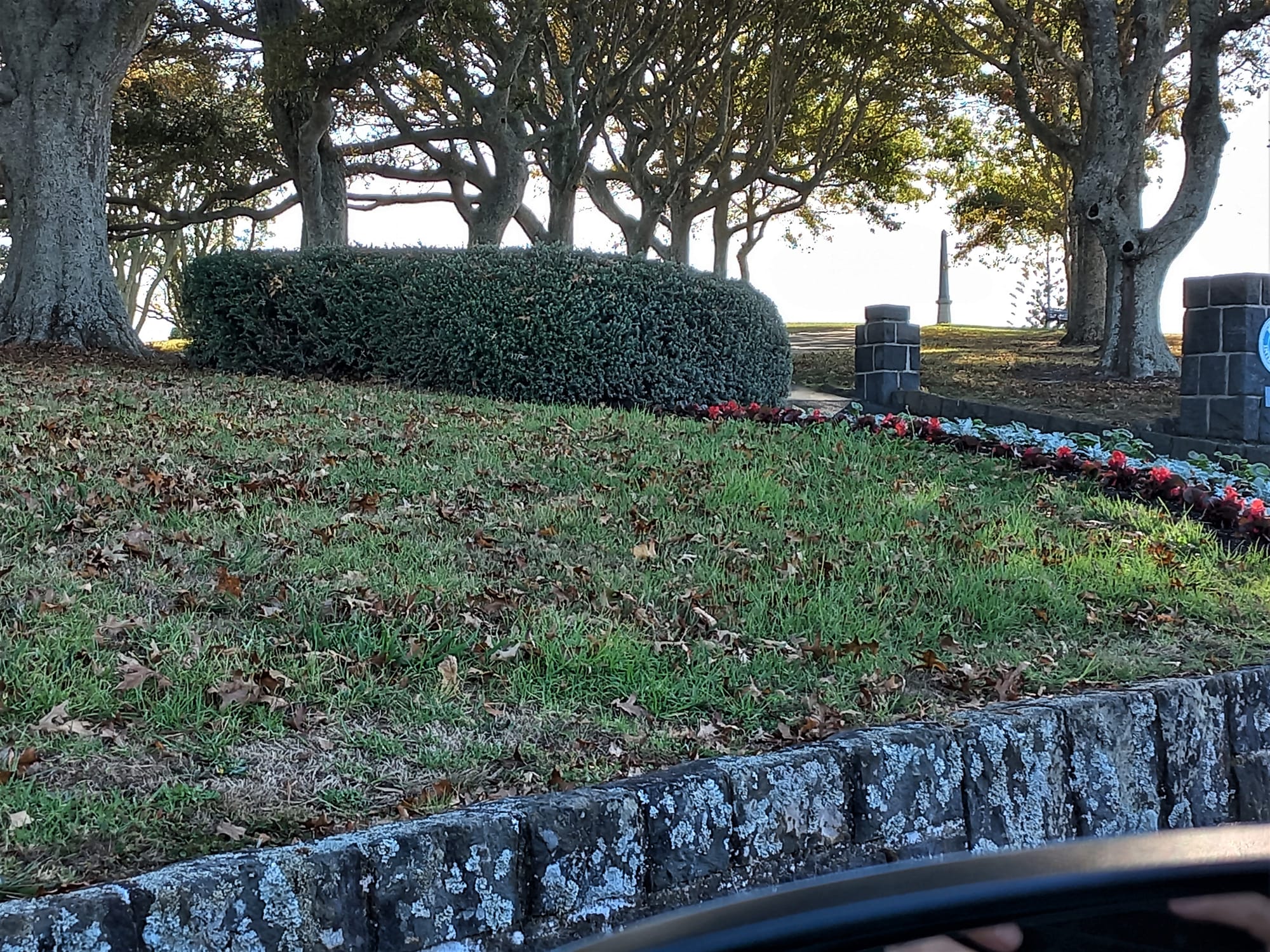
Yesterday’s photo was taken from Ridge Road, Howick, Auckland looking northeast up to the top of Stockade Hill. Being the highest elevation in eastern metropolitan Auckland, it provides panoramic views of Auckland, Hauraki Gulf to the northeast, Manukau Harbour to the southwest, and Whitford and Hunua hills to the south. Picton St, the main street of Howick runs from the base of the hill.
From wiki: Stockade Hill, Howick was the location of a stockade built by British settlers to defend from indigenous Maori during the British colonisation of New Zealand. It is located on the main road into Howick, New Zealand. Howick’s war memorial is located in the centre of the remains of the stockade’s earthworks which are readily visible today, it was unveiled on 13 January 1921. Each year the local ANZAC Day parade ends at the top of the hill,
The stockade was built in June 1863, for defence of British settlers against the perceived indigenous Maori threat during the New Zealand Land Wars. The site was constructed of loop holed sheets of iron surmounting a ditch and bank, and enclosed barracks for regular troops. The local militia, British Army 70th Regiment and Bavarian mercenaries from Puhoi, camped at the stockade. At one point there were two hundred troops stationed. Women and children slept here at night for several weeks in 1863 when there was fear of attack during the Land Wars.

NOTE: We prefer photos to be from a window with preferably part of the window in the shot.
They do not have to be exotic locations. They can be the view from your kitchen window or bedroom window or lounge room window or car window on the way to work.
window@thebfd.co.nz
Please put View From My Window in the subject line.


